8.18.3.9 IfcProjectedCRS
8.18.3.9.1 Semantic definition
IfcProjectedCRS is a coordinate reference system of the map to which the map translation of the local engineering coordinate system of the construction or facility engineering project relates. The MapProjection and MapZone attributes uniquely identify the projection to the underlying geographic coordinate reference system, provided that they are well-known in the receiving application. The projected coordinate reference system is assumed to be a 2D or 3D right-handed Cartesian coordinate system, the optional MapUnit attribute can be used determine the length unit used by the map.
The unambiguous identifier by which the coordinate reference system is know, is stored in the inherited Name attribute. Well defined identifiers include the map projection and also the map zone information. In these cases the MapProjection and the MapZone attributes can be omitted.
8.18.3.9.2 Entity inheritance
8.18.3.9.3 Attributes
| # | Attribute | Type | Description |
|---|---|---|---|
| IfcCoordinateReferenceSystem (5) | |||
| 1 | Name | IfcLabel |
Name by which the coordinate reference system is identified. |
| 2 | Description | OPTIONAL IfcText |
Informal description of this coordinate reference system Example for ellipsoid:
ELLIPSOID[ |
| 3 | GeodeticDatum | OPTIONAL IfcIdentifier |
Name by which this datum is identified. The geodetic datum is associated with the coordinate reference system and indicates the shape and size of the rotation ellipsoid and this ellipsoid's connection and orientation to the actual globe/earth. It needs to be provided, if the Name identifier does not unambiguously define the geodetic datum as well. |
| 4 | VerticalDatum | OPTIONAL IfcIdentifier |
Name by which the vertical datum is identified. The vertical datum is associated with the height axis of the coordinate reference system and indicates the reference plane and fundamental point defining the origin of a height system. It needs to be provided, if the Name identifier does not unambiguously define the vertical datum as well and if the coordinate reference system is a 3D reference system. |
| HasCoordinateOperation | SET [0:1] OF IfcCoordinateOperation FOR SourceCRS |
Indicates conversion between coordinate systems. In particular it refers to an IfcCoordinateOperation between this coordinate reference system, and another Geographic coordinate reference system. |
|
| Click to show 5 hidden inherited attributes Click to hide 5 inherited attributes | |||
| IfcProjectedCRS (3) | |||
| 5 | MapProjection | OPTIONAL IfcIdentifier |
Name by which the map projection is identified. |
| 6 | MapZone | OPTIONAL IfcIdentifier |
Name by which the map zone, relating to the MapProjection, is identified. |
| 7 | MapUnit | OPTIONAL IfcNamedUnit |
Unit of the coordinate axes composing the map coordinate system. |
8.18.3.9.4 Formal propositions
| Name | Description |
|---|---|
| IsLengthUnit |
The map unit shall be given, if present, as a length unit. |
|
|
8.18.3.9.5 Examples
-
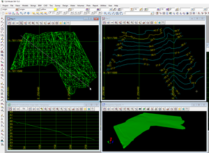
Figure 8.18.3.9.A -
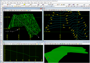
Figure 8.18.3.9.B -
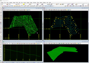
Figure 8.18.3.9.C -
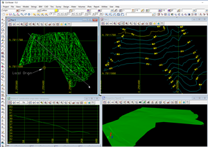
Figure 8.18.3.9.D -
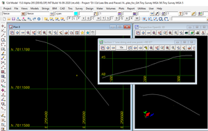
Figure 8.18.3.9.E -
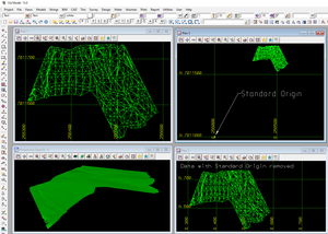
Figure 8.18.3.9.F -
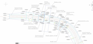
Figure 8.18.3.9.G -
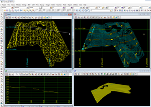
Figure 8.18.3.9.H -
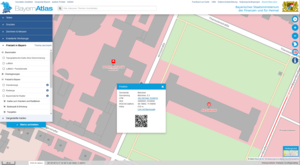
Figure 8.18.3.9.I -
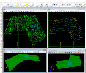
Figure 8.18.3.9.J
8.18.3.9.6 Formal representation
ENTITY IfcProjectedCRS
 SUBTYPE OF (IfcCoordinateReferenceSystem);
	MapProjection : OPTIONAL IfcIdentifier;
	MapZone : OPTIONAL IfcIdentifier;
	MapUnit : OPTIONAL IfcNamedUnit;
 WHERE
	IsLengthUnit : NOT(EXISTS(MapUnit)) OR (MapUnit.UnitType = IfcUnitEnum.LENGTHUNIT);
END_ENTITY;